
Could not have done it without Sylvie.
This is the most important and probably final post for Project Full Deck. Click any picture for a full-sized version.
I would like to thank some people for their support and belief in this, the most ambitious outdoors project I have ever done.

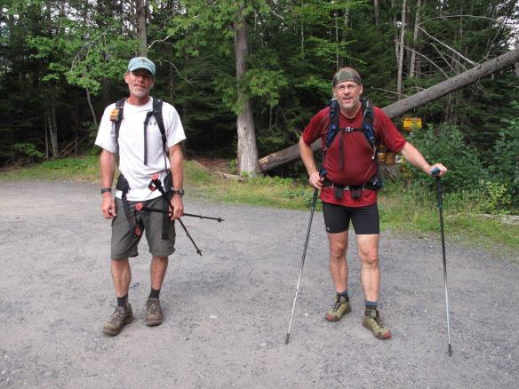
What a couple! Big Slide 2009.
Tom and Doreen. You have always been there for me in so many ways throughout the years. Whether it’s a cup of coffee, a mailbox, a car spot or a floor to sleep on I know I can count on you. Tom was standing by throughout PFD ready to drop everything and pitch in for re-supplies if anything went awry. He provided Glen with a lift from Averyville to Coreys and dropped my stuff off at the hostel. Thank you Tom for all the car spots and thank you Doreen for your hospitality and baking!


Tmax-n-Topo’s Hostel. Without the support of the hostel in letting Sylvie stay in the tent trailer she could never have done the incredible job she did managing the moving parts of PFD. You guys are the best and the hiking public is very, very lucky to have you. Thanks Tmax and TopoGothics! Long may you innkeep!

Mastergrasshopper Glen. The word titan comes to mind when I think of Glen’s role in this whacky scheme. Right from the get-go when I began to make the plan he was totally supportive and sent me e-mails with suggestions and ideas. He came on many of my training/fact-finding hikes and figured out the best way for me to break the trip into more reasonable segments. He was totally there. Glen hiked with me for about 8 days and ran in and out several times for re-supplies so that my pack weight would be easier to manage. On the bushwhacks he was very strong and a huge help in solving some thorny navigation problems. When the going got very, very tough he was always bouyant and cracking jokes. Thank you very, very much Glen! You are an inspiration to all hikers.

Boghollow Tom. The words generous and light-hearted come readily to mind when I think of Tom. Also, a monster of a hiker and a very quick study in the finer aspects of off-trail navigation. Tom e-mailed me and offered to feed me during his 4-day stint. I took him up on that and as a result enjoyed his excellent culinary abilities. (dehydrated suppers, hot coffee in the morning, some sort of addictive chocolate peanut butter cake, pastrami sandwhiches and best of all he carried a liter bottle of Mountain Dew up the Wright Slide. On the roughest whacks imaginable (Adams, Henderson) he never once complained or uttered a discouraging word. Tom was always 100% right there with a smile and a joke. (it’s wide open ahead but has a fair bit of blowdown!!) Thank you Tom!
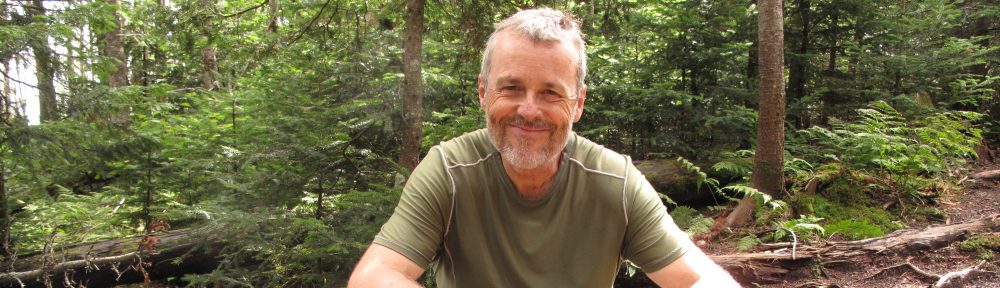
Happy man in the Sawtooth Range circa 2008.
ADKJack. I can’t say enough good things about Jack. No Jack would mean no Foundation, it’s that simple. Jack has been a rock ever since our family tragedy.  Both on P-46 and Full Deck Jack did and is doing everything in his power to help out and to completely run the fund raising arm of the hike. His support has been priceless and without his being there these projects would lose their luster. He and I have e-mailed and messaged countless times and his wise counsel I know to heed well. Thank you Jack!

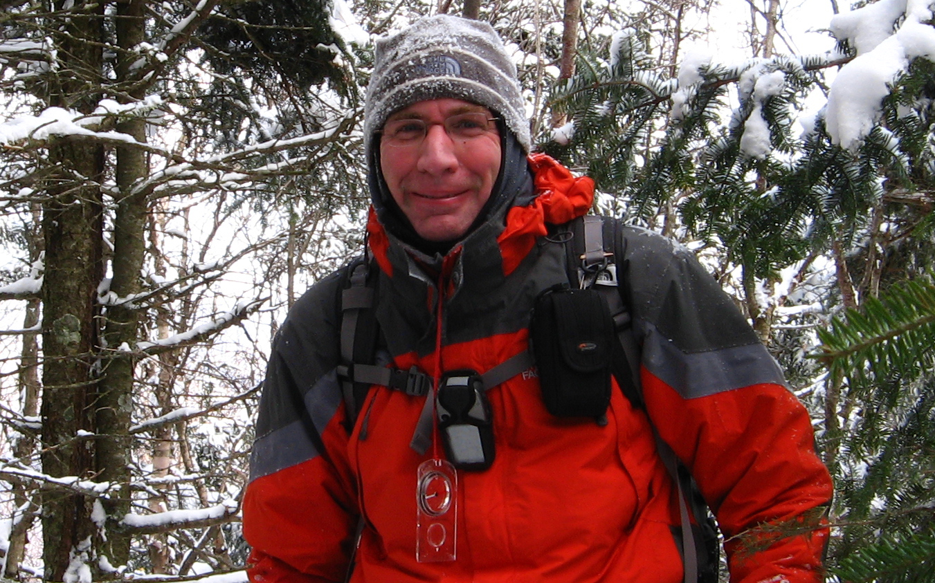
The King of IT!
Kyler (Geoff). Geoff handled the posting of the daily spot tracks as maps and put them on-line nearly every day. A thankless task for which I thank you now Geoff. Than you too for your solid IT work over the years.
People from the forum I met on the trail. Thanks for the boost! It always lightened my step!
LASAR. Thank you good people for doing what you do. I thought of you often while on the hike and did my best not to become one of your search subjects!

My wife Sylvie. Saving the biggest and most important thank you for last. First of all, if it weren’t for me being such a lucky guy and being with her this project would never have come to fruition, let alone ever have been conjured up in my brain. Two years ago Sylvie offered me the opportunity to do something “big” and I let it slide. Then she came back last year with the same offer and I thought I had better seize the chance. I could have gone anywhere and done anything but this project is what resonated with me. She quickly got on board and was totally supportive but was very busy with work. What she put up with at first was my absence. I was absent while I was there at home (always thinking, planning, cooking, training and scheming) but I also went on three-day training back-packs nearly every weekend for 4 months taking our only car with me each weekend. When her summer vacation started she totally geared up her support. We also went to the Dacks as a real couple. However, for two of the 4-day weekends that we shared she camped uncomplainingly alone at South Meadows and hiked mostly alone for two days out of the four. I bookended these weekends with a hike with her on days 1 and 4 and took off on an overnight in the middle two days. In addition to sharing in the food prep, she set about learning the itinerary: ie. the who, what, when and where of a great many moving parts. Her pages and pages of notes that she wrote, studied and fussed over re-assured me as to the efficiency and accuracy she was bringing to the table. I was able to free my mind for other things. She also advertised my project on her Facebook page and shared all of my posts. Once my feet hit the ground on day one she ran Project Full Deck with a master’s hand and seized every opportunity to talk about it to whoever was in earshot. Of the funds we have raised Sylvie is directly responsible for a significant portion. Throughout the months leading up to the actual hike I was aware just how much this project was impacting on her quality of life but she never complained. I know she’s relieved it’s over but she keeps congratulating me and saying how impressed she is with what I have done. Thank you Sylvie – for everything.
And it’s a wrap!